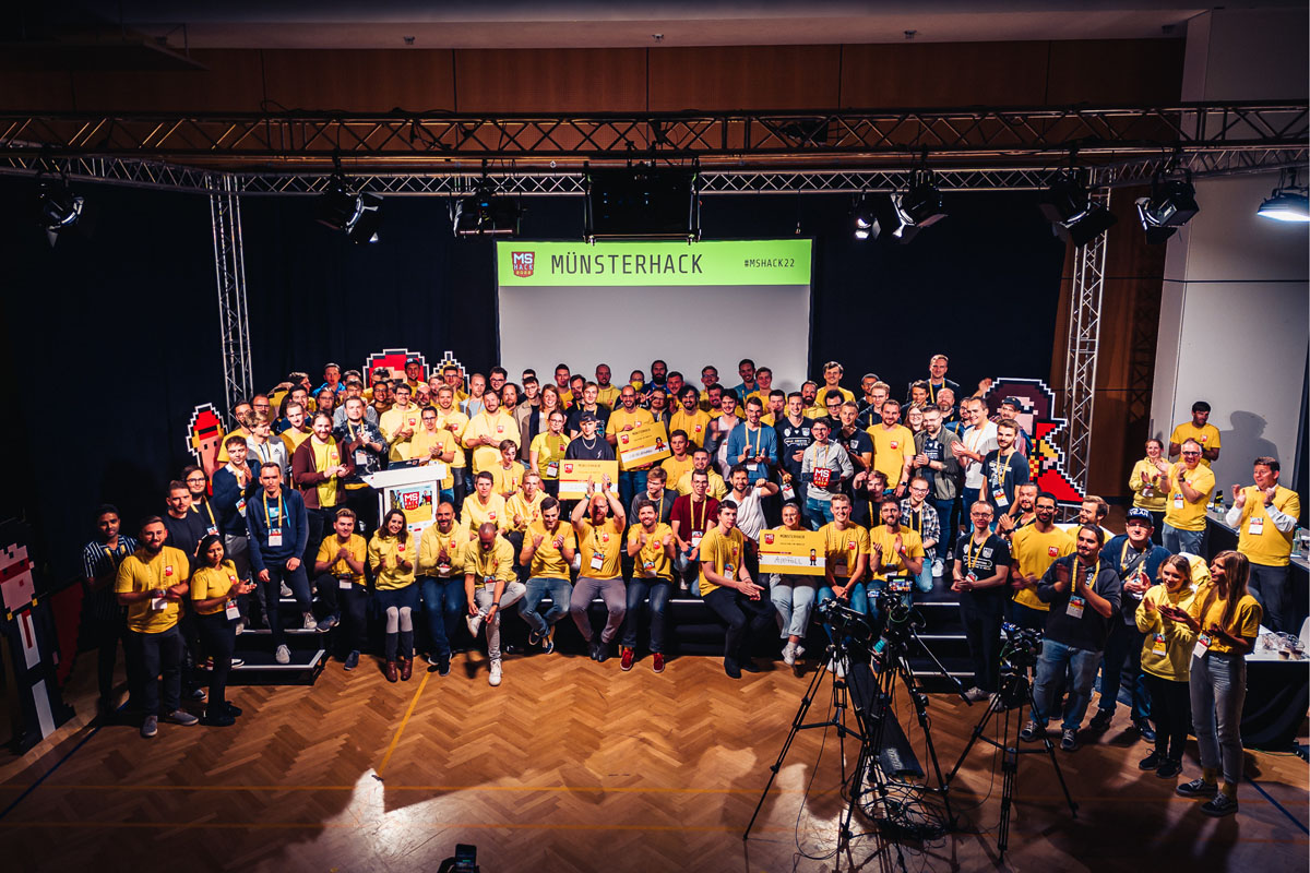
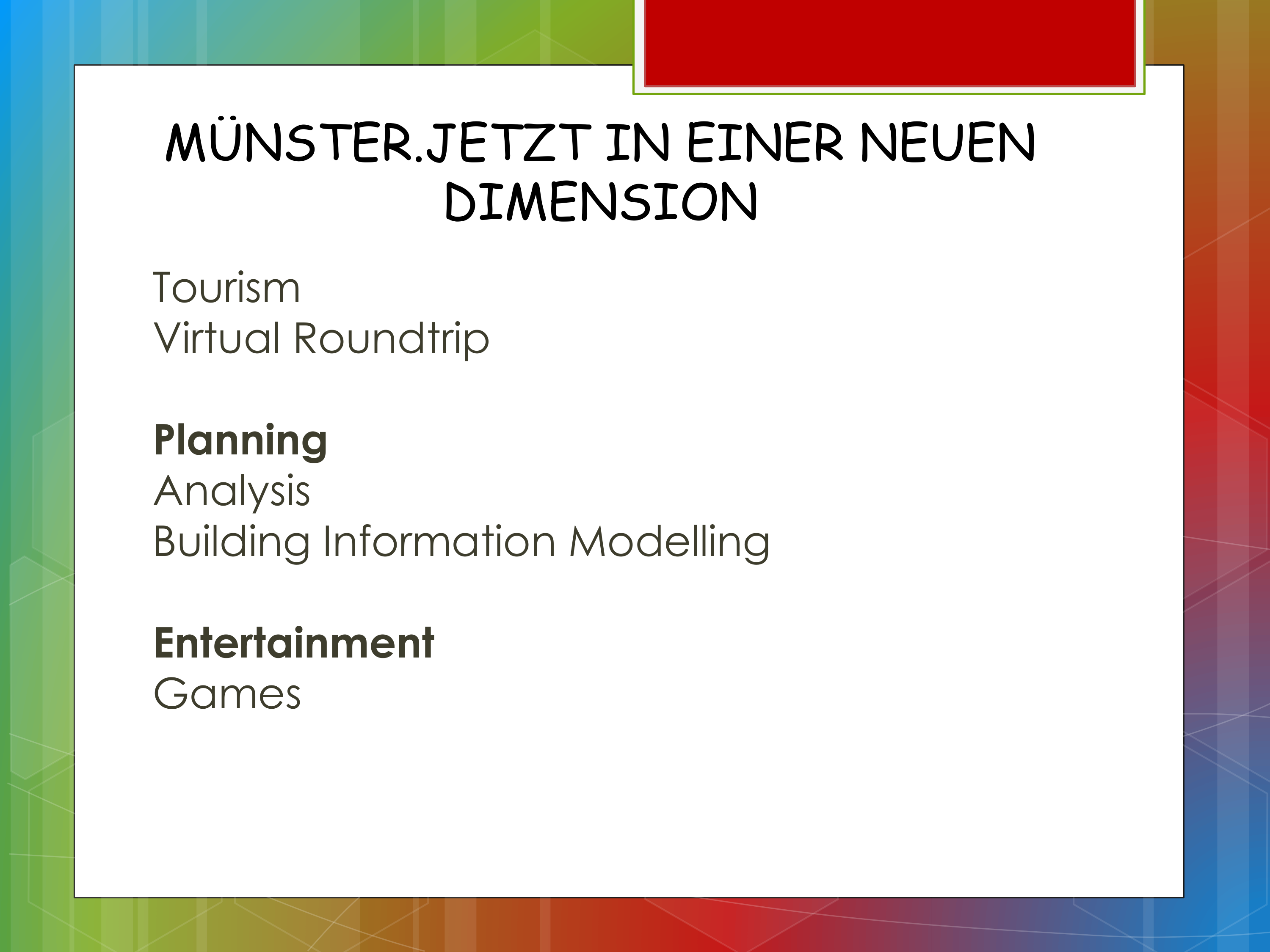
MÜNSTERHACK 2022
I, along with two other friends of mine from Technische Universität Berlin participated in the 2022 MÜNSTERHACK hackathon held in Münster from 23rd September to 25th September 2022. The concept was to propose and develop ideas and prototypes to make use of various collection of open data based on Münster to ensure that the city is even more liveable and accessible.Proposed Idea
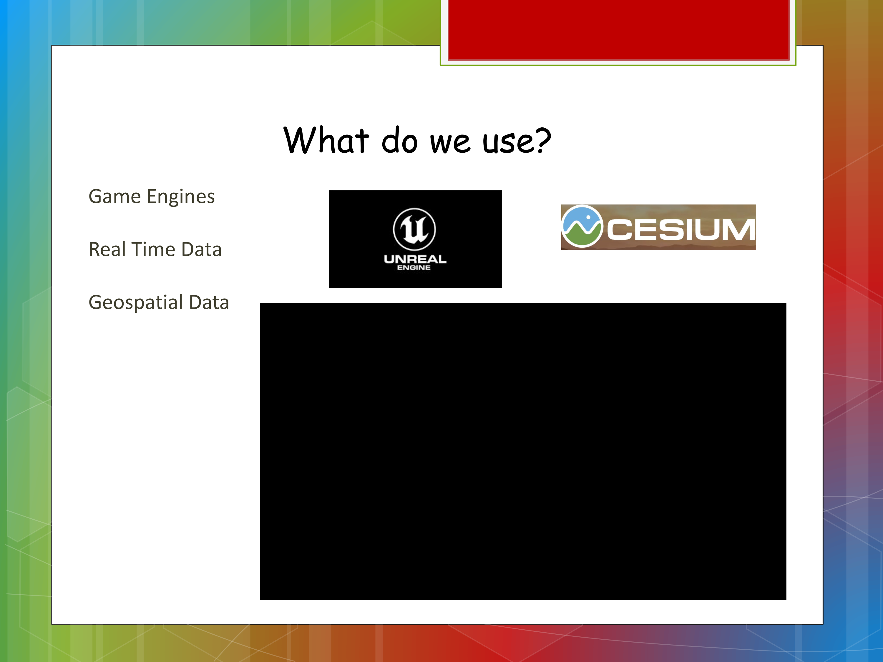
Tools & Softwares Used
Unreal Engine 5.0, Cesium for Unreal Engine, Photoshop and ArcGIS CityEngineTeam Information
- Rahul - Prototype development Using Unreal Engine (C++/Blueprint) and research on Arcgis and Cesium for Game Engine
- Palaniappan Mohan- 3D City designing using Arcgis CityEngine and research on Arcgis and Cesium for Game Engine
- Subhashini K- Research on Arcgis and Cesium for Game Engine
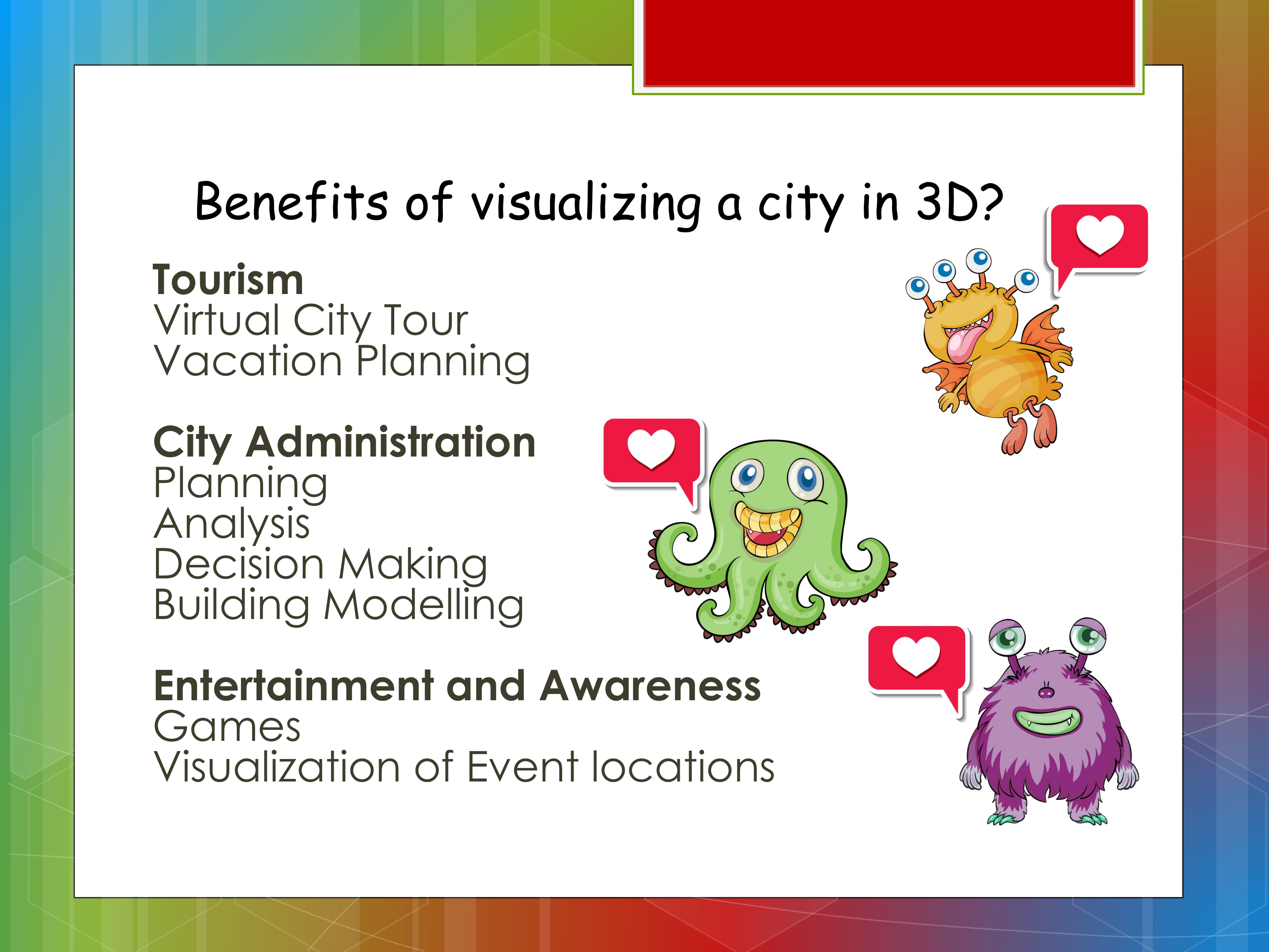
Project Description
The project was setup completely in Unreal Engine 5.0 and it was designated to run on desktop devices. The development spanned over a period of 4 days - I was mostly working on it after my work hours. The aim was to use a lot of data we could collect on Munster and present a 3D version of the same using the game engine so as to demonstrate the potential of interactive data visualization using Game Engines. Here's a video recording that demonstrates the product that we pitched on this hackathon.We used three different data sets in the application to support our idea of using Game Engine as a capability for interactive data visualization. The three different data sets used were :
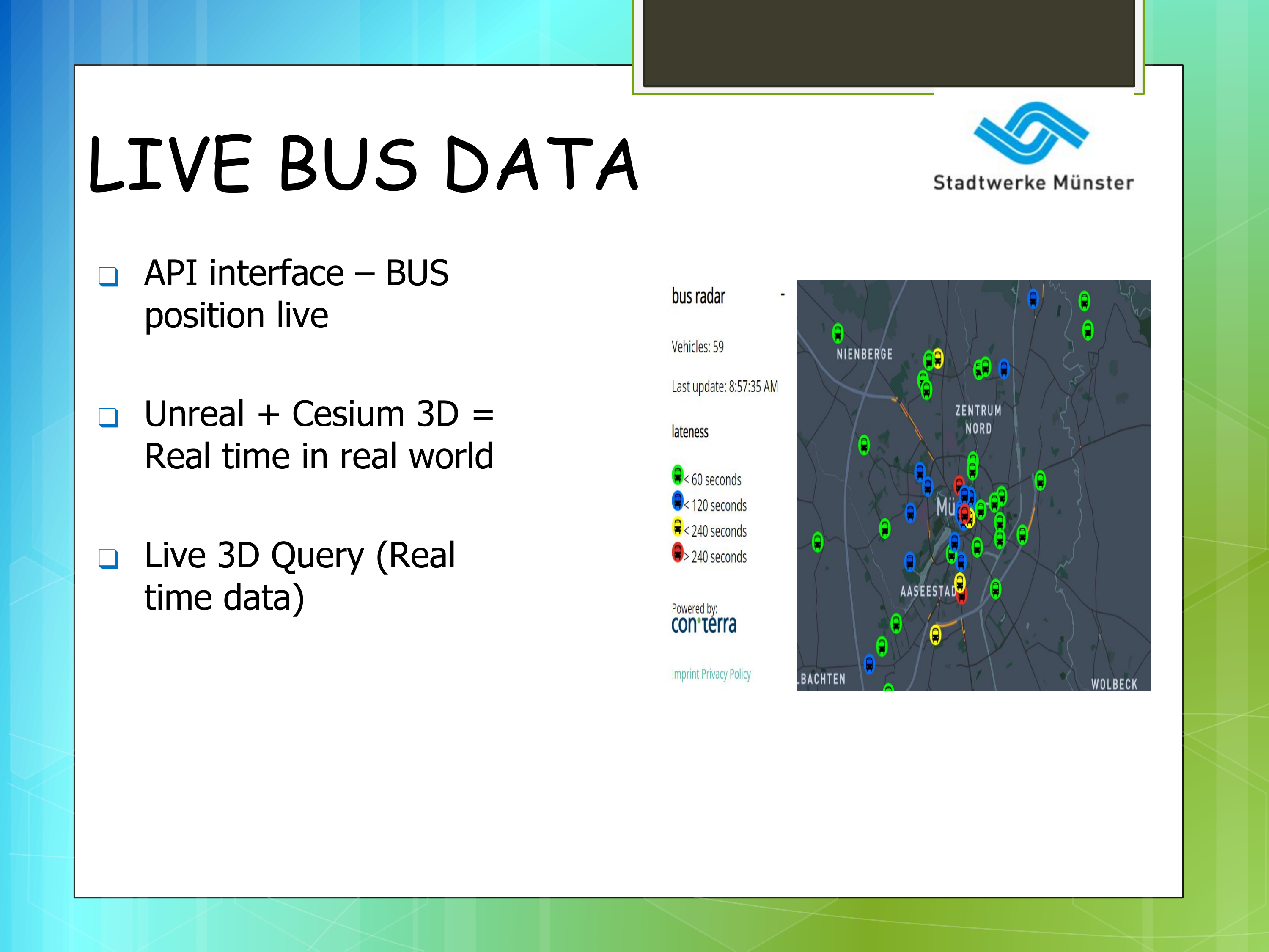
- Representing Live Bus Data - We collect the live Bus Data of Munster from here and use that information in the App to position the bus model on the cesium provided map based on the geo coordinates we receive. These geo coordinates are requested from the app every 30 seconds and the location is upadted accordingly.
- Representing Umweltzone/Low emission zone - Next up we thought of presenting the low emission zone in and around Munster on the cesium provided map. I had to download a geo json data that was provided on the open data portal for munster and used the coordinates in it to plot the low emission zone on the map. And that information is represented using a pink/red boundary. location is upadted accordingly.
- 3D City Model of Munster generated using Arcgis City Engine - And finally we thought of presenting a real city model of munster and map/positon that model on to the cesium map based on the geo coordinates. The 3D model of the city was generated in Arcgis city engine and then it was brought into Unreal Engine and was assigned a cesium based component that enable us to tag the model using geo coordinates. When provided with the appropriate geo coordinate values the 3D model will automatically be positioned on the map.
Event Photo